Kentucky, October 10, 2025
News Summary
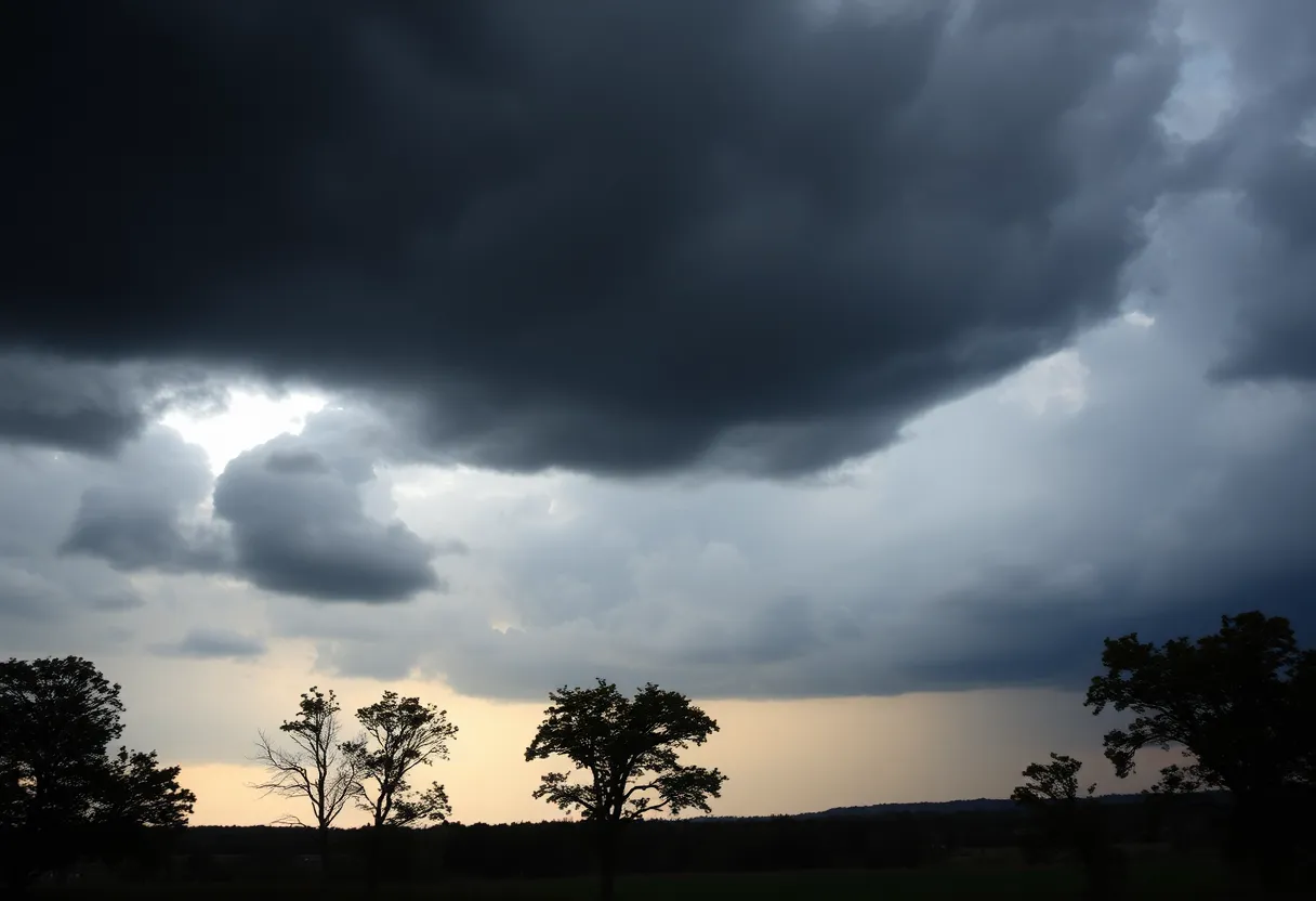
Kentucky is bracing for severe weather as Governor Andy Beshear has declared a state of emergency. The National Weather Service has warned of damaging winds, large hail, and the risk of tornadoes. Central and southeastern areas are particularly at risk as storms are expected to hit in the afternoon and evening. Residents are urged to stay vigilant, prepare for potential flooding, and avoid non-essential travel. The situation is compounded by already elevated river levels from past rains, raising concerns about public safety and emergency response.
Kentucky Faces Severe Weather Risks as Governor Declares State of Emergency
Governor Andy Beshear has declared a state of emergency in Kentucky in response to severe weather conditions expected to hit the region on Friday afternoon and evening. The National Weather Service (NWS) has issued warnings for damaging winds, large hail, heavy rainfall, and the potential for tornadoes, prompting residents to remain vigilant and prepare for possible power outages and flooding.
The NWS forecast indicates that the severe weather, including a second wave of storms moving from southeast Missouri into Indiana and Kentucky, is projected to impact the state from approximately 3 PM to 1 AM EDT. Initial storm waves have already begun to affect Lexington, marking the beginning of what may be a dangerous weather scenario.
Central and southeastern Kentucky is under a moderate risk for severe weather. Specific areas from Lexington to Paducah are highlighted as having a high level of confidence in the predicted severe conditions. Strong winds could reach hurricane force levels of 74 mph or more, while torrential rains could result in 1 to 3 additional inches of rainfall, heightening the risk for flooding—especially in Fayette County.
A flash flood watch is currently in effect for Lexington until 4 AM on Saturday. Residents are urged to avoid traveling through floodwaters and to remain informed about road closures in the area. Floyd County schools have announced they will not release students at their usual dismissal times due to anticipated severe weather and existing standing water issues.
Traveling in the Lexington area is discouraged until after midnight, as the storm conditions could create hazardous situations for drivers. Tornado risk is notably higher in central Kentucky, specifically in areas such as Paducah, Owensboro, Madisonville, and Hopkinsville.
This severe weather event follows a particularly wet early April in which persistent rains have led to rivers reaching historic levels across the commonwealth. Low staffing levels at NWS offices in Kentucky, a result of federal budget cuts impacting meteorological services, may further complicate weather response efforts during this challenging weather system.
In light of the unfolding situation, Governor Beshear has advised residents to turn on their weather alerts to stay informed and take necessary safety precautions. As the storms approach, Kentucky officials are urging the public to remain ready for any potential emergencies.
Key Weather Risks in Kentucky
- Damaging Winds: Winds up to 74 mph potentially causing power outages and property damage.
- Heavy Rainfall: 1 to 3 inches expected, leading to flooding risks, particularly in Fayette County.
- Tornadoes: Enhanced risk of tornado activity, especially in central and western Kentucky.
- Travel Advisories: Non-essential travel is discouraged as storms may create dangerous driving conditions.
Background Context
The declaration of a state of emergency reflects the serious nature of the approaching weather system that is set to impact Kentucky significantly. Damaging storms have become more common in recent years, necessitating heightened awareness and preparedness among residents. With this backdrop of severe weather activity, it is essential for individuals and families to ensure they are informed and ready to respond effectively to any emergency situations that may arise.
FAQ
What prompted the state of emergency declaration in Kentucky?
The state of emergency was declared due to severe weather forecasts, including high winds, large hail, heavy rain, and potential tornadoes expected to impact Kentucky on Friday evening.
What areas in Kentucky are at the highest risk for severe weather?
Central and western parts of Kentucky, especially near Paducah, Owensboro, Madisonville, and Hopkinsville, are at higher risk for tornadoes and severe weather conditions.
What are residents advised to do during this severe weather event?
Residents are advised to stay vigilant, monitor local weather alerts, avoid traveling through floodwaters, and be prepared for possible power outages and flooding.
How long will the severe weather last?
The severe weather is expected to impact Kentucky between 3 PM and 1 AM EDT on Friday into Saturday morning.
Key Features of the Severe Weather Situation
| Feature | Description |
|---|---|
| State of Emergency | Declared by Governor Andy Beshear due to forecasted severe weather. |
| Potential Tornadoes | Enhanced risk of tornado activity in central and western Kentucky. |
| Damaging Winds | Wind gusts may reach hurricane force levels up to 74 mph. |
| Heavy Rainfall | Expected rainfall of 1 to 3 inches leads to flooding risks. |
| Travel Warnings | Non-essential travel advised against due to hazardous conditions. |
Deeper Dive: News & Info About This Topic
HERE Resources
Local Shelter Seeks Help for Neglected Dogs Rescued in Lexington
Lexington Unveils Winter Weather Response Plan
Historic Rainfall Causes Flash Flooding in Lexington
Lexington Enhances Snow Removal Strategies Ahead of Winter
Lexington Implements New Winter Weather Strategy
Flash Flooding Causes Road Closures in Lexington, Kentucky
High-Speed Chase Leads to Arrest of Lexington Man
Bankruptcy Judge Dismisses Kentucky Owl’s Debt Resolution Plan
Kentucky Declares State of Emergency as Severe Weather Approaches
Kentucky Health Department Issues Alert as West Nile Virus Cases Surge
Additional Resources
- Fox 56 News: Kentucky Weather Tomorrow
- Wikipedia: Weather of Kentucky
- Fox 56 News: Kentucky Weather Today
- Google Search: Kentucky Severe Weather
- Fox 56 News: Kentucky Weather Tomorrow – Chilly Sunshine
- Encyclopedia Britannica: Meteorology
- Kentucky.com: Weather News Article
- Weather.com: Louisville Weather
- Fox 56 News: Kentucky Weather Tomorrow – Cool Fall
- Google News: Kentucky Weather Warnings