Lexington, October 20, 2025
News Summary
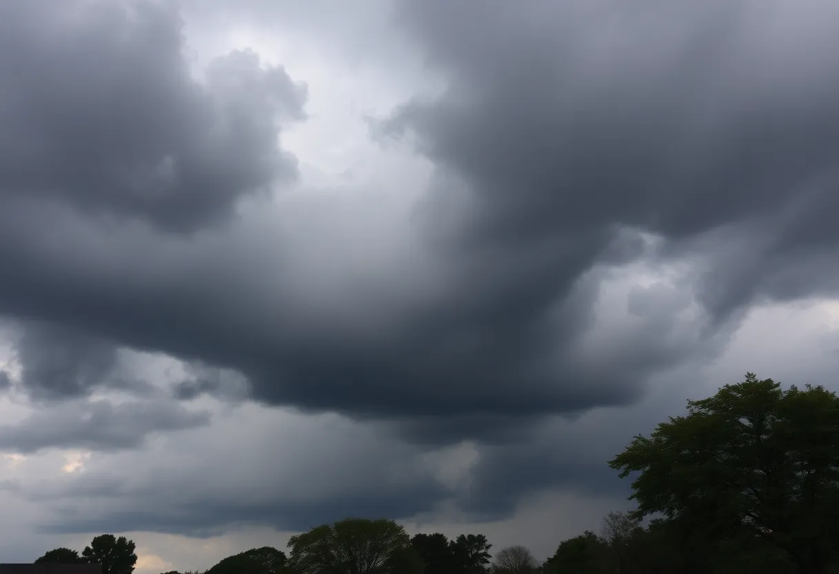
Lexington residents are being warned of severe weather as a potent storm system is expected to bring heavy rain, thunderstorms, and high winds from Saturday night into Sunday. Wind gusts could reach 35-45 mph, with a chance of tornadic activity primarily in eastern Kentucky. While temperatures will remain mild overnight, residents are advised to prepare for rapidly changing conditions and take necessary safety precautions throughout the weekend.
Lexington Weather Alert: Severe Storms, High Winds, and a Temperature Plunge Expected this Weekend
Lexington residents should prepare for severe weather as the First Alert Weather Days continue through Sunday due to a potent storm system approaching the area. The National Weather Service has alerted the public to anticipate rainfall and thunderstorms that are expected to start overnight and persist into Sunday afternoon.
Wind gusts are expected to range between 35-45 mph, raising concerns for one or two strong to severe storms, primarily associated with damaging winds. There is also a non-zero chance of tornadic activity, particularly in the eastern parts of Kentucky. As the storm system moves through, overnight temperatures will remain mild, hovering in the low to mid-60s.
On Sunday, the weather will continue to be unsettled, with rain and thunderstorms expected through the morning and early afternoon. Afternoon temperatures are expected to drop into the 50s as the system progresses, with gusty winds persisting in the same range of 35-45 mph. Rain and thunderstorms will likely linger into the evening, accompanied by scattered showers before gradually clearing.
As conditions calm overnight Sunday, temperatures will drop, with lows forecasted to reach the upper 30s to low 40s. The beginning of the new week on Monday is expected to bring calm weather with ample sunshine and high temperatures in the mid-60s. Clear skies are projected for Monday night, with temperatures falling to the mid to upper 40s.
On Tuesday, skies will be partly cloudy with a slight chance of isolated showers, while temperatures remain steady in the low to mid-60s. The night will also be partly cloudy, with lows in the low to mid-40s. Midweek conditions seem cooler, with highs only reaching the mid to upper 50s and nighttime temperatures dropping to the mid to upper 30s on Wednesday.
Looking to the latter part of the week, Thursday is expected to return sunshine with cool temperatures in the low to mid-60s, and Thursday night could see patchy frost with lows in the mid to upper 30s. Friday will begin partly cloudy and transition to cloudy by the afternoon, with high temperatures again around the low 60s. Next Saturday suggests early rain showers that will lessen by the afternoon, and highs will again be in the low to mid-60s.
Residents are advised to stay weather-aware throughout the weekend as this storm system develops, ensuring safety measures are in place in case of severe weather conditions.
FAQ
What are the expected wind gusts during the storms?
Wind gusts are forecasted to reach between 35-45 mph throughout the storm period.
Is there a chance of a tornado in Lexington?
Yes, there is a non-zero chance of tornadic activity, particularly in eastern Kentucky.
What should residents do to prepare for the severe weather?
Residents should stay informed, secure loose outdoor items, and have a plan in place in case of emergencies. It’s also recommended to avoid travel during severe weather events.
Weather Forecast Summary
| Day | Morning Temperature | Afternoon Temperature | Wind Gusts | Precipitation |
|---|---|---|---|---|
| Saturday Night | Low to Mid 60s | – | 35-45 mph | Rain and Thunderstorms |
| Sunday | Low to Mid 60s | Mid 50s | 35-45 mph | Rain and Thunderstorms |
| Monday | Upper 40s | Mid 60s | – | Sunny |
| Tuesday | Low to Mid 40s | Low to Mid 60s | – | Partly Cloudy, Isolated Shower |
| Wednesday | Mid to Upper 30s | Mid to Upper 50s | – | Mix of Sun and Clouds |
| Thursday | Mid to Upper 30s | Low to Mid 60s | – | Sunny |
Deeper Dive: News & Info About This Topic
HERE Resources
Severe Weather Hits Lexington, KY with Cold Front and Strong Winds
Jessamine County Faces Wind Damage as Fall Weather Approaches
Investigation Underway After Man Found Dead in Danville
Significant Water Main Repairs to Cause Traffic Delays in Lexington
Perfect Weekend Weather Forecast for Kentucky
Beautiful October Weather Expected Across Kentucky
Lexington Family Raises Safety Concerns Over Bus Protocols
Kentucky Faces Severe Weather Risks as Emergency Declared
Grand Opening of Cardinal Run Park North in Lexington
Historic Rainfall Causes Flash Flooding in Lexington
Additional Resources
- Kentucky.com Weather News
- Wikipedia: Weather
- The Weather Channel
- Google Search: Severe Weather Preparations
- LEX18 News
- Encyclopedia Britannica: Storm
- Fox56 News Weather Forecast
- Google News: Kentucky Weather
- WKYT First Alert Weather