News Summary
A tornado watch has been issued for Columbia and many counties in South Carolina, indicating severe weather is on the way. Residents should be prepared for thunderstorm warnings and heavy rainfall throughout the day. The storms are expected to bring damaging wind gusts and potential flash flooding. Local authorities are urging residents to stay informed and ready for rapid weather changes as conditions develop.
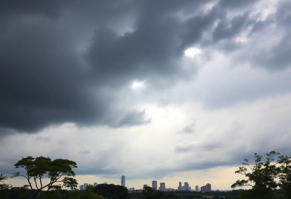
Severe Weather Looms Over Columbia and Much of South Carolina
Attention, residents of Columbia! A tornado watch has been issued for your area and much of South Carolina, putting many on alert as severe weather approaches. The watch kicked in bright and early on Sunday and will remain in effect until 1 p.m., so it’s time to stay vigilant.
Counties Under Watch
Included in this watch are Richland and Lexington counties, but that’s not all! Neighboring Midlands counties such as Kershaw, Newberry, Lee, Calhoun, Clarendon, Fairfield, Orangeburg, Saluda, and Sumter are also keeping a close watch on the skies.
Thunderstorm Warnings and Threat Levels
For those living in Columbia, Lexington, West Columbia, and Irmo, severe thunderstorm warnings are already in place. Residents in Lexington and Irmo should prepare for potentially stormy weather through 9 a.m., while those in Columbia and West Columbia have warnings stretching until 9:45 a.m. The most intense thunderstorms are expected to hit the Columbia area between 9 and 11 a.m.
While afternoon hours might present a limited threat of severe weather, the stormy conditions are anticipated to diminish after 6 p.m.
What’s Expected?
Expect these thunderstorms to pack a punch, potentially producing damaging wind gusts, hail, and localized street flooding. However, it’s reassuring to note that significant flash flooding isn’t on the list of concerns, as per the National Weather Service.
Wind and Tornado Risks
A lake wind advisory has already been put in place until 6 p.m., with winds anticipated to blow at 10-15 mph and gusts could rise to a swift 30 mph. It’s worth mentioning that high winds could lead to considerable damage, from uprooted trees and dislodged branches to impaired roofs, mobile homes, and outbuildings.
Automobiles parked outdoors may face challenges as well during a tornado, so it is a good time to move them if possible. Downed power lines could lead to unexpected outages, so keeping a flashlight handy wouldn’t hurt.
Rainfall Forecast
Rain is certainly in the forecast, with the chance of rain in Columbia projected at an impressive 100%. Depending on where you live, you could see up to 2 inches of rainfall, and in some locations, localized amounts may exceed that mark! So, do grab your umbrella, just in case.
Looking Ahead
If you’re curious about the weather after today, you’re in for a treat! Once the thunderstorms move out, high temperatures could reach the high 60s with a return to mostly sunny skies on Monday and Tuesday. It’s all looking cozy, though you might want to bundle up on New Year’s Eve, as temperatures are expected to dip to around 43 degrees.
And for the big New Year’s Day celebrations, expect a cool start, with a high of 59 degrees and lovely sunny conditions.
Stay Safe and Informed!
Remember, weather conditions can change quickly, so stay tuned for updates throughout the day. Keep your loved ones close and your safety gear ready. Here’s to hoping for calm skies ahead!
Deeper Dive: News & Info About This Topic
HERE Resources
Severe Weather Outbreak Brings Tornadoes to Southern U.S.
Severe Storms Sweep Through Athens, Alabama Resulting in Widespread Damage and Rising Death Toll
Severe Storm System Strikes Athens, Alabama Causing Massive Damage and Disruption
Chilly Thanksgiving Forecasts Across the Southeast as Millions Prepare to Travel
South Carolina Police Launch Search for 43 Monkeys Escaped from Research Facility
Tropical Storm Rafael Takes Shape, Threatens to Strengthen Into Hurricane in the Caribbean
North Carolina Community Mourns After Hurricane Helene Devastation, Undertakes Search For Missing Residents
Florida on High Alert as Hurricane Helene Approaches, Predicted to Reach Category 3 Intensity
Hurricane Helene Set to Become Major Category 3 Storm, Expected to Hit Gulf Coast by Thursday
Carolina Beach Grapples with Intense Flooding After Effects of Potential Tropical Cyclone 8
Additional Resources
- The State
- Wikipedia: Weather Warning
- Fox 56 News
- Google Search: Severe Weather Alerts
- WKYT
- Google Scholar: Severe Thunderstorms
- Kentucky Kernel
- Encyclopedia Britannica: Severe Weather
- Kentucky.com
- Google News: Severe Weather Kentucky